• Skip to main content
  • Skip to primary sidebar
  • Skip to footer

Travel Dayz Travel

Hiking, Travel & Food

  • Home
  • About
  • Destinations
    • Asia
      • China
        • Chongqing
        • Fujian
        • Guangdong
        • Hainan
        • Hunan
        • Shaanxi
        • Sichuan
        • Yunnan
      • Indonesia
    • South America
      • Argentina
      • Brazil
      • Colombia
      • Peru
  • Blog
  • Travel Resources
  • Privacy Policy

Hiking Mt Rinjani in Lombok, Indonesia: A Complete 3-Day Trekking Guide

Sep. 02, 2025 / Asia+ Indonesia

If you’re anything like us, you’ve been to Bali a couple times: you’ve seen the sights, climbed Mt Batur, encountered the crowds and traffic chaos. And look it’s fiiiinne, but now you’re ready for a newer, BIGGER adventure so you’ve set your sights east towards Lombok. Cue Mount Rinjani.

Hiking Mt Rinjani is arguably the most rewarding physical challenge in Southeast Asia, offering a dramatic landscape of volcanic craters, turquoise lakes and the most stunning sunrise view. To successfully summit this 3,726-metre peak, travellers can choose between various routes, typically spanning two to four days. We picked the 3-day, 2-night itinerary* (see below for details) which strikes the perfect balance between challenging and fun.
A breathtaking sunset over Mt Rinjani's peaks on Night Two of the trek, with colorful clouds streaking across the sky above silhouetted mountains.
The sky on fire! The clouds and mountains create a spectacular view on Day 2 of our Mt Rinjani adventure, making every step worth it.

Disclaimer: this post contains affiliate links. By purchasing through our links, you can help support us at no additional cost. Thanks for your support! Please see our here for details.

Hiking Mt Rinjani 3-day itinerary breakdown

A standard 3-day Hiking Mt Rinjani itinerary typically begins in Senaru village and concludes in Sembalun village. This route provides the best logistical flow for hiking through the lush tropical rainforest to the crater rim, descending into the crater lake for a soak in the hot springs, and reaching the summit on the third morning.

DayApprox. distanceElevation gainEstimated time
110km2,000m ascent6 hours
28km600m descent
600m ascent
6 hours
318km1,100m ascent
2,700m descent
11.5 hours

Day 0: Transfer to Senaru Village

Most tours you’ll come across will actually include a night stay in the village prior to the hike. Our tour offered a complimentary pick up from either Bangsal Harbour, Senggigi or Mataram to Senaru Village in either the morning or evening of the day prior to the trek.

The total journey took about 2 hours from south to north of Lombok where Senaru village is. If you have the time, we’d suggest taking the morning pick up option as it gives you free time in the afternoon to explore the two waterfalls near the village. Sendang Gile Waterfall and Tiu Kelep Waterfall are both within a short walking distance of the village and offer a nice relaxing afternoon activity to explore the area!

Day 1: Senaru Village > Senaru Crater Rim

You’ll start from Senaru village, trekking through jungle and gradually moving into exposed volcanic terrain. The first day is long and demanding, with a steep to the crater rim at 2,641m. Expect around 7–8 hours of hiking.

At camp on the crater rim, you’ll be rewarded with your first view of Segara Anak, the turquoise crater lake. The sunset views here were amazing and made the first day of hiking worth the struggle.

Day 2: Senaru Crater Rim > Segara Anak Lake and Hot Springs > Sembalun Crater Rim

You’ll descend from Senaru crater rim into the caldera, passing volcanic rock fields before reaching the lake and hot springs. After lunch, it’s a steep climb back up towards Sembalum crater rim. Camping at Sembalun crater rim sets you up for the summit attemp
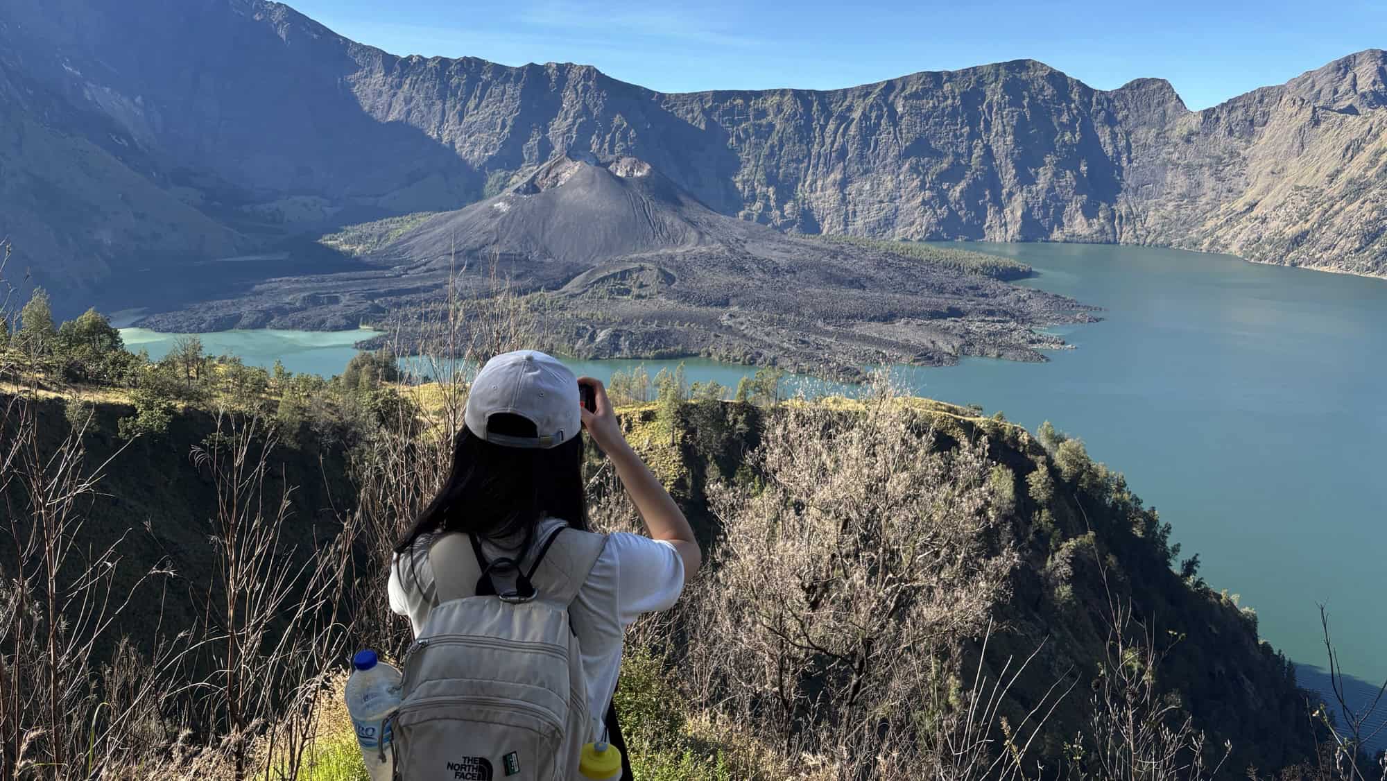
The serene view of Lake Segara Anak on Mt Rinjani at sunset, with a vibrant sky reflected on the calm water and the volcano's crater rim silhouetted in the background.
The stunning view on Evening One of our trek, with the sun setting over the beautiful Lake Segara Anak, nestled inside Mt Rinjani’s crater.

Day 3: Summit Push at 2am, followed by Descent to Sembalun Village

You’ll wake around 2 AM for the summit climb. The first third is manageable, the second steady, and the final stretch is steep volcanic scree where every step forward slips half a step back. The reward: sunrise at 3,726m. After descending back to camp, you’ll continue all the way down to Sembalun village.
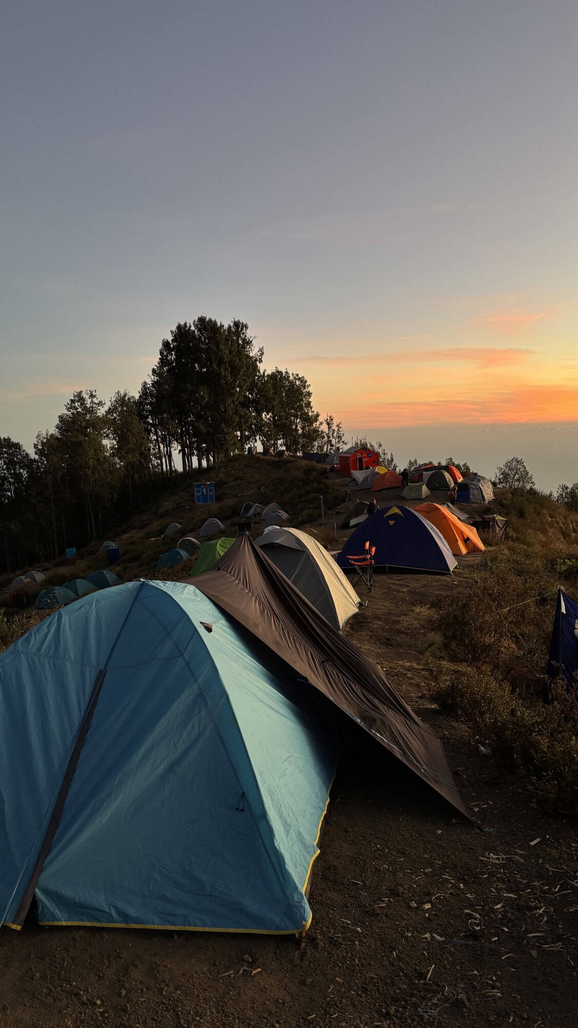
Tents are pitched on a campsite on Mt Rinjani's slopes as the sun sets, casting a warm glow over the landscape.
Resting at the end of a long day’s hike. Our campsite on the slopes of Mt Rinjani, with the sun setting behind the crater rim.

How Safe Is the Mt Rinjani Hike?

Safety depends on preparation. Trails are steep and physically demanding, but guides and porters know the mountain well. Our group felt safe at all times, even in the toughest sections.

  • Biggest risks: exhaustion, altitude effects, slipping on loose rocks on final part of summit.
  • How to reduce risks: hire a licensed guide, pace yourself, and bring proper footwear.

Commonly Asked Questions

1. Do you need a guide for Mt Rinjani?
Yes. Independent trekking is not allowed. Licensed guides ensure safety, logistics, and park compliance.

2. How fit do you need to be?
You don’t need to be an athlete, but you should be comfortable hiking 6–8 hours per day with significant elevation gain. Mental resilience is just as important as fitness.

3. Can you get altitude sickness on Mt Rinjani?
Yes, mild symptoms like headaches, fatigue, and nausea are common above 2,000m. Staying hydrated, ascending steadily, and resting help reduce effects. If you’re particularly susceptible to altitude sickness (like Ling), planning ahead with some meds like Diamox can be super helpful.

4. What’s the best time of year to hike?
April to December is trekking season. The park is closed during the rainy season (January–March).

Things to Pack for Mt Rinjani

  • Sturdy hiking boots with strong grip
  • Warm clothes, gloves and a beanie
  • Swimwear for the lake and hot springs
  • Rain jacket (optional)
  • Headlamp with spare batteries
  • Extra snacks for energy boosts
  • Reusable water bottle or hydration pack
  • Trekking poles, especially useful for the summit and descents
  • Sunscreen and hat (UV at altitude is intense)
  • Small first aid kit (blister pads, painkillers)
  • Dry bag for electronics and clothes
  • Camera or phone for sunrise shots
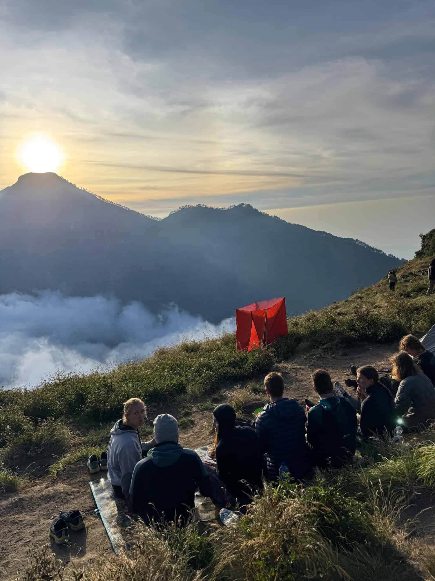
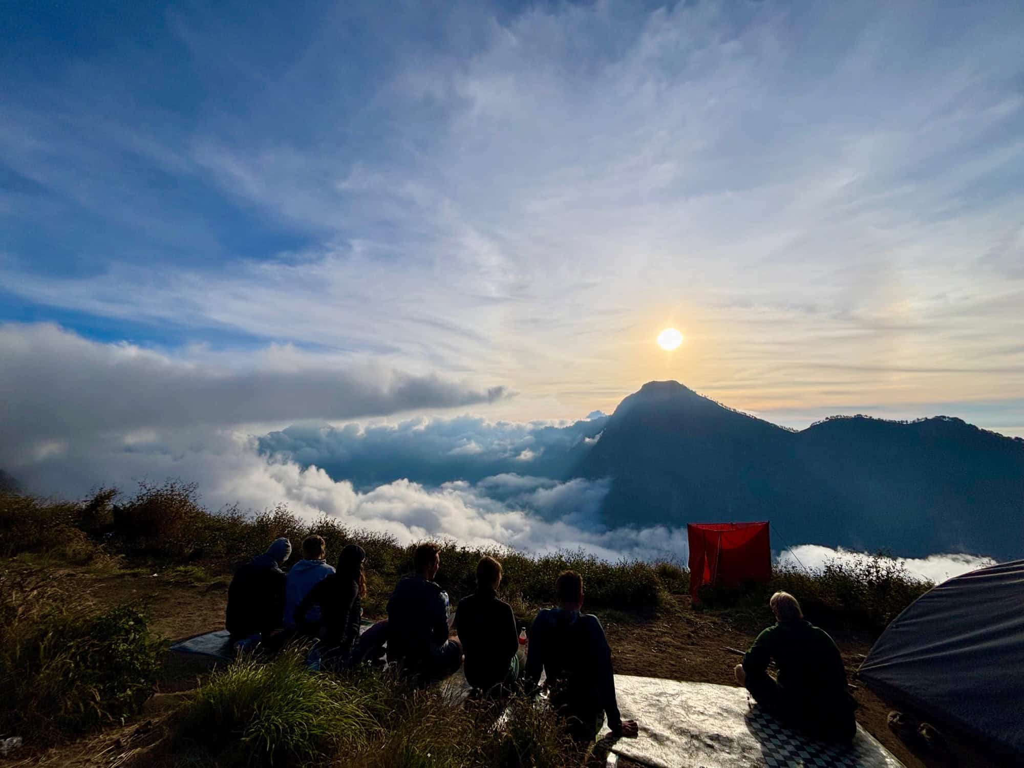
Hikers sit on a cliffside at sunset, watching the sun descend over Mt Rinjani's landscape, with a vibrant sky and Silhouetted tents in the distance.
The reward for a long day of hiking. Hikers on Night Two of the Mt Rinjani trek take a moment to enjoy the stunning sunset from the campsite.
  • WhatsApp
  • Facebook
  • Pinterest
  • Copy Link

Category: Asia, Indonesia Tags: Hiking, Indonesia, Lombok

← Previous Post
Complete Guide to Your Terracotta Warriors Visit from Xi’an
Next Post →
China 30-Day Visa-Free Policy: Full Guide & Visa Run Experience

You may also like

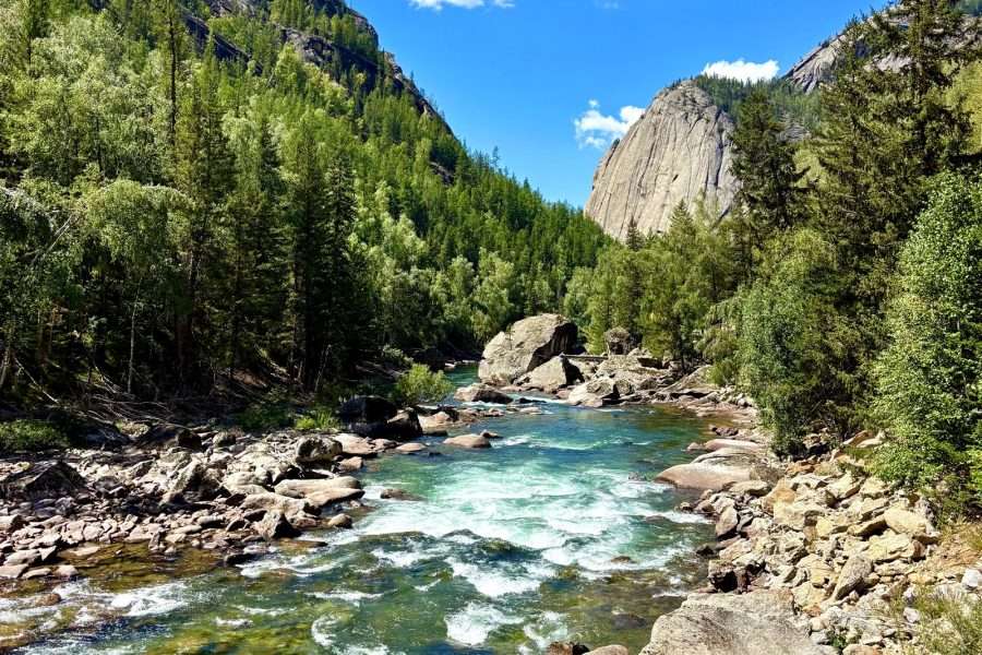
Scenic view of Keketuohai National Geopark with river and mountains.
Keketuohai National Geopark: Xinjiang Guide
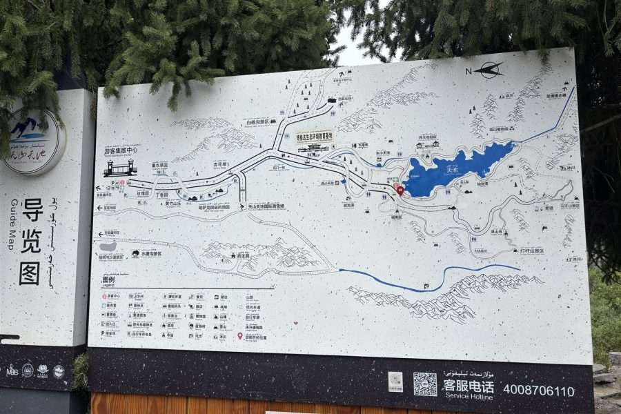
Map of Tianshan Tianchi Lake and surrounding area in China.
Heavenly Lake, China: A Day Trip to Tianshan Tianchi from Ürümqi
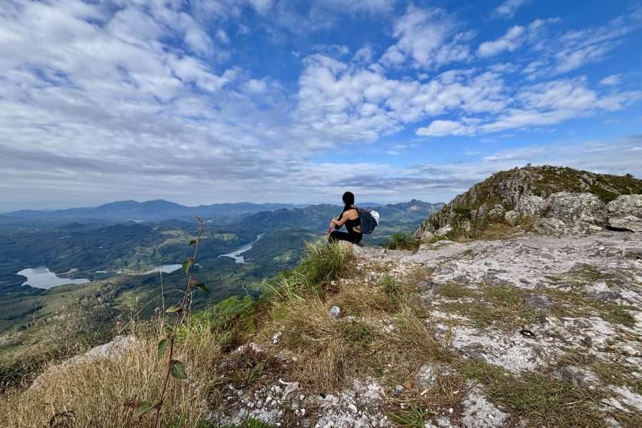
A female hiker sitting on a rocky peak at Baishi Ridge in Sanya, Hainan, overlooking a winding river and lush green valley under a blue sky.
Baishi Ridge Sanya, Hainan Hiking Guide

About Corry + Ling

We're a couple of Aussies who love chasing sunsets, good food and unforgettable places around the world!!

We created this blog to help make travel more possible, sharing real itineraries, honest tips and the little discoveries that make adventures special. Our goal is simple: help as many people as possible get out there, explore more, and experience the world in their own way.

Reader Interactions

Leave a Reply Cancel reply

Your email address will not be published. Required fields are marked *

Primary Sidebar

Corry and Ling, Travel Dayz Travel founders

We’re Corry + Ling!

Hi, we’re Corry + Ling from Travel Dayz Travel. We’re a couple of Aussies travelling the world. We share the places we visit and the food we LOVE.

So sit back, grab a drink (or snack) and let us help you plan out your next big adventure!

Recent Posts

  • Kizil Caves Xinjiang: Entry, Tour Logistics and a History of Loss
  • Guangzhou Food Guide: Where to Eat Like a Local
  • Kuqa Grand Canyon Xinjiang: Prices, Permits & Prince Mansion
  • Nalati Grassland Xinjiang: Panlong Valley Road & Sky Grassland Bus Line Guide
  • Fairy Lake Xinjiang: Horse Riding to Xiannv Hu in the Tangbula Scenic Area

Stay in Touch

traveldayztravel

🌿 Hiking guides for China and South America
✈️ Real routes, costs and itineraries
💌 hello@traveldayztravel.com
👇 Get free travel guides in our blog

“it’s not going to rain, they’ve literally had a d “it’s not going to rain, they’ve literally had a drought for the past 2 years” - famous last words of an unnamed, very naive and ill-informed traveller 🤣
🌧️ Turns out Xinjiang thunderstorms have no chill. We found out the hard way, socks and all. 
🥾 By the time we’d reached the end of the dirt trail and were back on the edge of the Hemu, it was raining so hard we could barely see our own hands. 
🚎 Thankfully, local bus spotted us along the road and kindly stopped to pick us up; though not without plenty of laughter from the other passengers at how much water we were carrying 😅
📍 Hemu Village, Xinjiang
Follow along, to see tips and inspo from our 28 days of travelling through Xinjiang!! ✨ 
#xinjiang #hemuvillage #chinatravel #xinjiangtravel #travelfails
🏔️ After spending 28 days travelling across Xinjia 🏔️ After spending 28 days travelling across Xinjiang, we discovered that in some places, travelling is just as much about the journey as much as the destination 😅
🗺️ This one’s the drive from Altay to Hemu Village on the Ahe Highway (阿禾公路, Āhé Gōnglù), officially opened in June 2025
📏 Distance: 209km
👀 Lookout points: 31 lookout points
💫Vibe: endless switchbacks cutting straight through the mountains the entire way
🚨 Elevation: 2,750m (starting point is 750m)
🚗 If you’re planning a Xinjiang trip, this road is definitely worthbuilding your route around
✨ Follow us @traveldayztravel to see more! We’re covering spots from all 28 days, and there’s a lot more of Xinjiang still to come 📌
#xinjiang #chinatravels #roadtrip #xinjiangtravel #hiddengems
🌒 Everyone goes here at night, but I think they mi 🌒 Everyone goes here at night, but I think they might be doing it wrong
Wubaili Block, also known as the Five Hundred Li Folk Custom Street (五百里风情街) in Altay City is a completely different place depending on when you show up. By day it’s quiet, empty, and you can actually take in the buildings without a crowd in the way. By night it’s full of barbecue smoke, outdoor drinking, and dance performances every 10 metres, going until late.
Which version would you pick, quiet morning walk or loud night out?
#xinjiang #阿勒泰 #xinjiangtravel #chinatravels #hiddenchina
🤩 We did not expect to find good coffee in Altay C 🤩 We did not expect to find good coffee in Altay City, in the middle of northern Xinjiang, but this place proved us wrong
📚It’s called Corner of Altay Travel Book Club (阿勒泰的角落·旅行书吧), a two storey souvenir shop in Altay with a coffee counter tucked at the back
🐈 The shop is full of cats wandering around, postcards everywhere, and a balcony to sit on with your drink
☕️We tried the rice latte, which had smooth foam and little rice bits at the bottom, for 28 CNY (4 USD). We also tried a called Altay Summer, a super cute yoghurt based drink, for 35 CNY (5 USD).
🥇 As a Melburnian, our coffee bar is high. Altay City cleared it easily.
📍 Corner of Altay Travel Book Club, Altay City, Xinjiang
Save this so you know what to order when you’re in Altay 📌 
✨ Follow along, we’re covering the whole 28 days through Xinjiang
#xinjiang #chinatravels #xinjiangtravel #specialtycoffee #xinjiangfood
⛏️We almost skipped this bit. It’s inside Keketuoh ⛏️We almost skipped this bit. It’s inside Keketuohai National Mine Park, right next to town. 
📄 On paper it sounds like “old mining tunnels,” not exactly what most people picture when they think of Xinjiang in China
🗺️ Then our guide told us the story and it gave a whole new meaning to this little town. This region almost got handed over to the USSR as war debt. Instead, tens of thousands of people spent decades mining it back.
👉 Swipe through, it’s one of the most fascinating histories we came across on this trip
📍 Keketuohai National Mine Park, Xinjiang
Save this for your Xinjiang trip 📌
#xinjiang #travelchina #historylesson #visitchina #discoverchina
Follow on Instagram

Footer

Explore more

Coming soon...explore our recommended Destinations, learn our personalised travel Tips & Tricks, and Shop our favourite travel gear!

Stay in Touch

Get access to our future newsletter, be first to hear about our new travel guides, etc.

Follow us

  • instagram
  • youtube
  • pinterest
  • facebook

Copyright © 2026 · Travel Dayz Travel

Marley Theme by Code + Coconut